
The Future of Infrastructure Inspections: Why California is Turning to Drone Mapping
MN
The Rise of Drone Mapping in Infrastructure Inspections
Drones are rapidly transforming the landscape of infrastructure inspections in California, offering a safer, faster, and more cost-effective approach. As urban areas expand and infrastructure ages, the demand for innovative inspection methods has increased. Drone mapping is emerging as a leading solution.
Why Traditional Methods Are Falling Short
Traditional inspection methods often involve manual checks, which can be time-consuming and risky. Inspectors must navigate hazardous environments, scaling heights or entering confined spaces, which poses significant safety concerns. Moreover, these methods can lead to prolonged downtime for infrastructure, affecting productivity and efficiency.
The logistical challenges and high costs associated with traditional inspections are motivating California to explore more advanced technologies. Drones offer a compelling alternative, eliminating many of the limitations associated with conventional methods.
The Advantages of Drone Mapping
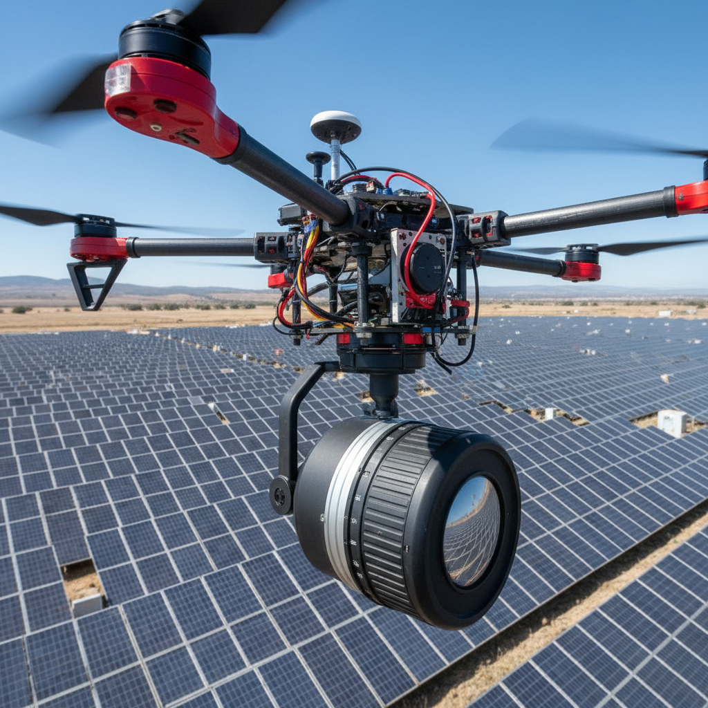
Drones equipped with high-resolution cameras and sensors can capture detailed imagery and data, providing a comprehensive overview of infrastructure conditions. This technology allows for real-time data analysis, enabling prompt identification of potential issues.
One of the key benefits of drone mapping is its ability to cover large areas quickly. Compared to manual inspections, drones can significantly reduce the time required to assess structures such as bridges, roads, and power lines.
Enhanced Safety and Efficiency
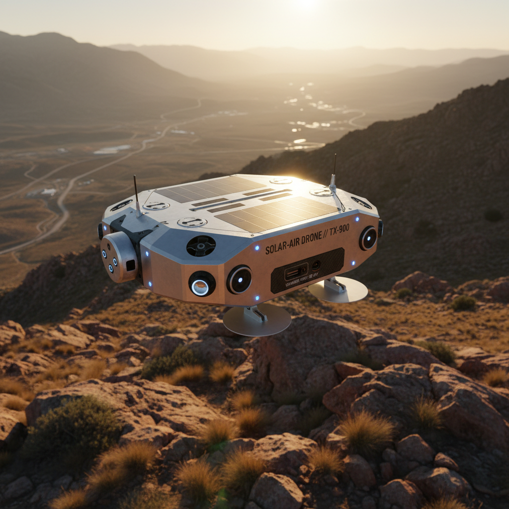
By employing drones, inspection teams can minimize human exposure to dangerous environments. This enhances safety for workers and allows inspections to be conducted more frequently, ensuring that infrastructure is maintained in optimal condition.
Furthermore, drone mapping reduces the need for extensive scaffolding and heavy machinery, cutting down on costs and resources. This efficiency makes it an attractive option for state agencies and private companies alike.
Applications Across Various Sectors
Drone mapping is versatile and can be applied across multiple infrastructure sectors. For instance, in the energy sector, drones can inspect power lines and wind turbines. In transportation, they provide valuable insights into road and bridge conditions.

In the water management sector, drones assist in monitoring dams and reservoirs, ensuring the safety and reliability of water supplies. These applications demonstrate the broad potential of drone technology to enhance infrastructure maintenance across the board.
Challenges and Considerations
While the benefits are clear, the adoption of drone technology in infrastructure inspections is not without challenges. Regulatory hurdles and privacy concerns can pose obstacles. Additionally, there’s a need for skilled operators who can effectively manage and interpret the data collected.
Despite these challenges, the trend toward drone mapping in California is gaining momentum as stakeholders recognize the long-term advantages.
Looking Ahead: The Future of Inspections
The future of infrastructure inspections in California looks promising with the integration of drone technology. As advancements continue, drones are expected to become even more sophisticated, offering enhanced capabilities and broader applications.
By embracing drone mapping, California is setting a precedent for other states to follow, highlighting the importance of innovation in maintaining and improving critical infrastructure.