
Mapping San Diego: DroneWorks’ Approach to High-Resolution Aerial Surveys
MN
San Diego, with its diverse landscape and vibrant urban areas, offers unique challenges and opportunities for mapping and surveying. In recent years, DroneWorks has emerged as a leader in providing high-resolution aerial surveys, helping businesses and local governments capture detailed data crucial for planning and development.

The Rise of Drone Technology in Mapping
Drone technology has revolutionized the way we approach mapping and surveying. By utilizing UAVs (Unmanned Aerial Vehicles), DroneWorks is able to deliver precise and comprehensive data that traditional methods might miss. This advancement has opened up new possibilities in urban planning, environmental monitoring, and real estate development.
Traditional surveying methods often require extensive time and manpower. With drones, what once took weeks can now be accomplished in hours, reducing costs and improving efficiency. The ability to cover large areas quickly means that more frequent updates can be provided, keeping data current and relevant.
Advantages of High-Resolution Aerial Surveys
High-resolution aerial surveys offer unmatched accuracy and detail. DroneWorks uses state-of-the-art cameras and sensors to capture imagery that supports a wide array of applications, from topographic mapping to infrastructure inspection. This high level of detail ensures that stakeholders have the information needed to make informed decisions.
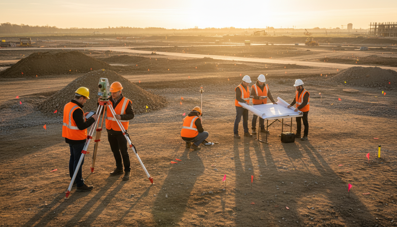
Beyond visuals, the data collected can be used to create 3D models, allowing for virtual exploration and analysis. This is particularly beneficial for construction projects, where understanding the terrain and potential obstacles is crucial for planning and safety.
Real-World Applications in San Diego
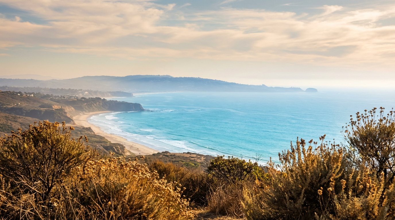
San Diego presents a varied landscape, from its coastal areas to inland mountains. DroneWorks has leveraged its technology to assist in numerous projects across the city. Whether it’s monitoring coastal erosion, assisting in wildlife conservation, or aiding city planning, the applications are vast and impactful.
One significant project involved mapping the San Diego River. By using drones, DroneWorks was able to provide detailed maps that highlighted areas prone to flooding, helping authorities take preventative measures to protect local communities.
Environmental and Economic Benefits
Using drones for mapping not only benefits urban development but also plays a crucial role in environmental conservation. By providing detailed insights into natural habitats, DroneWorks aids in efforts to protect endangered species and manage natural resources efficiently.
Economically, the efficiency and precision offered by drones help reduce the cost of large-scale projects. With accurate data, businesses can optimize their operations, reduce waste, and make strategic decisions that lead to better outcomes.
The Future of Drone Mapping
As technology evolves, DroneWorks continues to innovate, exploring new ways to enhance their services. The future holds possibilities like integrating AI for data analysis, offering even more detailed insights, and expanding their reach across different sectors.
In a world increasingly driven by data, the role of high-resolution aerial surveys will only grow. With its commitment to cutting-edge technology and quality service, DroneWorks is poised to remain at the forefront of this exciting field, shaping the future of mapping in San Diego and beyond.