
How Drone Services Enhance Environmental Monitoring in California
MN
The Role of Drones in Environmental Monitoring
With California's diverse ecosystems and complex environmental challenges, the use of drone technology has become a game-changer in environmental monitoring. These aerial tools provide unique capabilities that enhance data collection, analysis, and response strategies. The integration of drones into environmental efforts offers a new perspective on preserving the state's natural beauty.
Precision and Accessibility
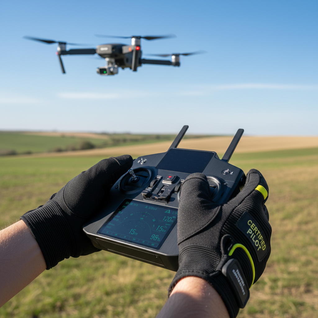
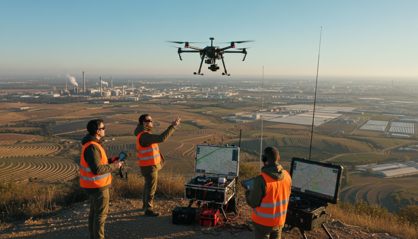
One of the primary advantages of drones is their ability to access remote and difficult-to-reach areas. This capability allows researchers and environmentalists to gather precise data without the limitations faced by traditional methods. Whether it's monitoring forest health in the Sierra Nevada or assessing coastal erosion along the Pacific, drones offer unparalleled accessibility.
Moreover, drones are equipped with high-resolution cameras and sensors, enabling the collection of detailed images and environmental data. This information is crucial for understanding the impact of climate change, tracking wildlife populations, and managing natural resources effectively.
Cost-Effectiveness
In addition to their precision, drones are also a cost-effective solution for environmental monitoring. Traditional methods often require significant resources, including personnel and equipment. Drones, however, can cover large areas quickly, reducing the time and expense associated with data collection. This efficiency allows for more frequent monitoring, leading to better-informed environmental decisions.
Real-Time Data and Advanced Analytics
Drones provide the ability to collect data in real time, offering immediate insights into environmental conditions. This capability is particularly beneficial during natural disasters, such as wildfires or floods, where timely information is crucial for emergency response and mitigation efforts. The real-time data can be analyzed using advanced software, providing valuable insights that aid in decision-making processes.
Furthermore, the integration of artificial intelligence with drone technology enhances data analysis, allowing for the identification of patterns and trends that might be missed by human observers. This combination of technologies ensures more accurate and comprehensive environmental assessments.
Applications Across Various Ecosystems
Drones are used across California's diverse ecosystems to monitor a wide range of environmental factors. In agriculture, they help assess crop health and manage irrigation efficiently. In forests, drones monitor tree health and detect signs of disease or pest infestations early. Along the coastline, they track changes in shoreline and erosion patterns, providing data essential for conservation efforts.

The Future of Environmental Monitoring
The future of environmental monitoring in California is promising with the continued advancement of drone technology. As drones become more sophisticated, their applications will expand, providing even greater insights into the state's ecosystems. The ongoing integration of drones into environmental strategies underscores their importance in promoting sustainability and resilience against climate challenges.
In conclusion, drone services significantly enhance environmental monitoring in California by offering precision, cost-efficiency, and real-time data collection. As these technologies evolve, they will undoubtedly play a critical role in preserving the state's natural resources for future generations.