
California Drone Mapping: Transforming Urban Planning and Development
MN
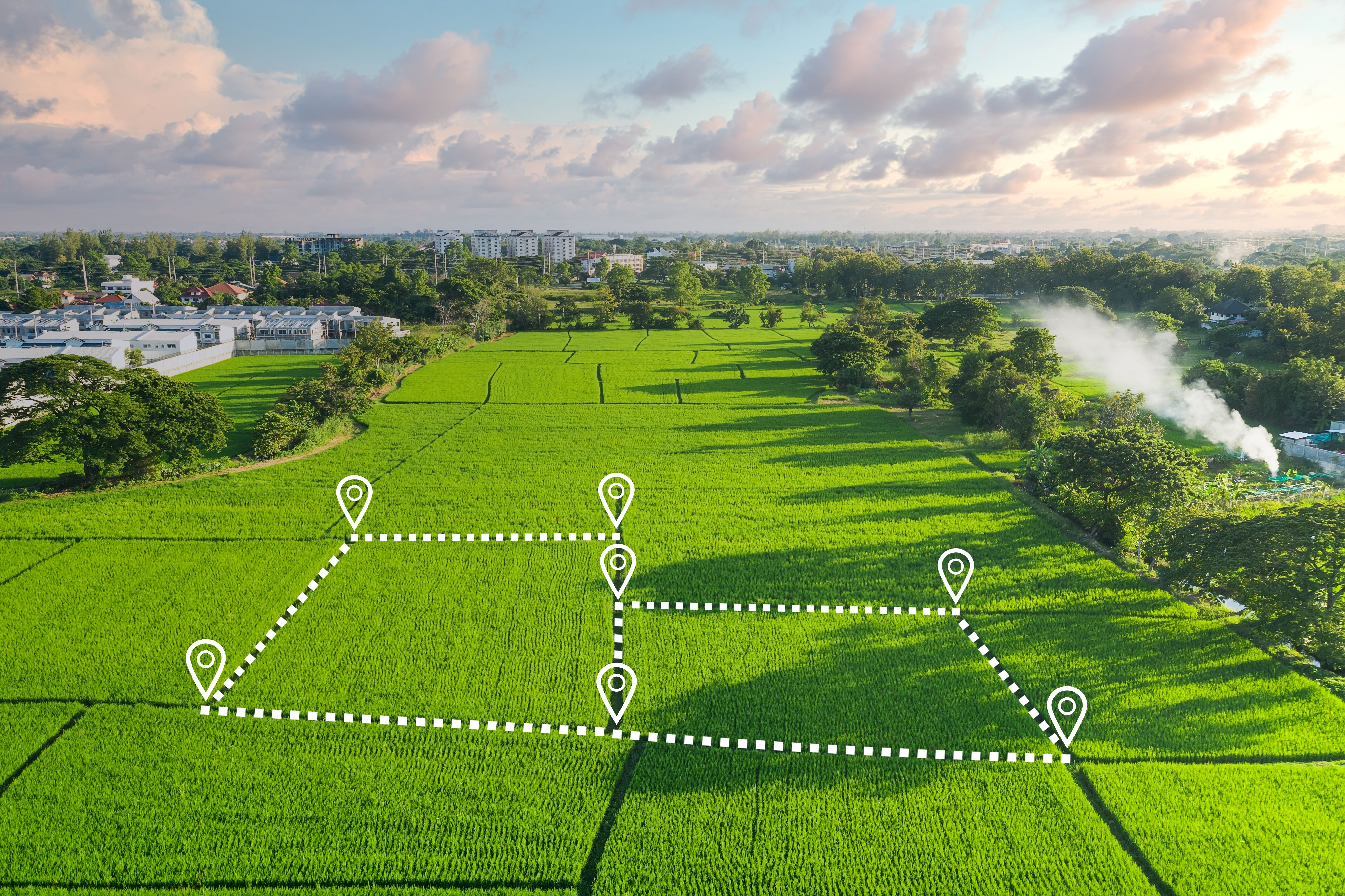
Revolutionizing Urban Planning with Drone Mapping
Urban planning has always been a complex field, requiring careful analysis and comprehensive data. In recent years, drone mapping has emerged as a groundbreaking technology transforming how cities in California approach development projects. By providing detailed aerial views and accurate topographical data, drones offer planners a new perspective that is both efficient and cost-effective.
Traditional methods of surveying land often involve significant time, labor, and costs. In contrast, drones can capture high-resolution images and data in a fraction of the time. This allows urban planners to make more informed decisions quickly, streamlining the entire planning process.
Key Benefits of Drone Mapping in Urban Development
The advantages of using drone technology in urban planning are numerous. Not only do drones provide a bird's-eye view of potential development areas, but they also allow for the creation of 3D maps and models that are essential for modern planning needs. Some key benefits include:
- High Accuracy: Drones equipped with advanced sensors can gather precise data that is crucial for detailed planning.
- Cost-Effectiveness: Reducing the need for traditional surveying methods saves both time and money.
- Enhanced Safety: Drones can access areas that may be hazardous for human surveyors, ensuring safety while collecting data.
These benefits make drone mapping an invaluable tool for urban developers and planners who are tasked with designing efficient and sustainable cities.
Applications in California's Urban Landscape
California, with its diverse landscapes and rapidly growing population, faces unique challenges in urban planning. Drone mapping is being utilized across the state to address issues such as traffic congestion, environmental impact assessments, and land-use management. By providing comprehensive data on existing infrastructure and natural resources, drones help planners develop strategies that balance growth with sustainability.

In particular, cities like Los Angeles and San Francisco have embraced drone technology to revitalize aging infrastructure and accommodate expanding communities. This proactive approach ensures that urban growth is managed effectively, minimizing disruptions and maximizing efficiency.
The Future of Urban Planning with Drones
The integration of drone mapping into urban planning is just the beginning. As technology continues to advance, we can expect even more sophisticated tools that will further revolutionize the field. In the near future, we may see drones equipped with artificial intelligence capabilities, allowing them to analyze data in real-time and provide instant insights to decision-makers.
This evolution will likely lead to smarter cities, where every aspect of urban life is optimized through data-driven solutions. The potential for innovation is immense, and California is at the forefront of this exciting transformation.

Challenges and Considerations
While the benefits of drone mapping are significant, there are also challenges to consider. Privacy concerns and regulatory requirements must be navigated carefully to ensure that drone usage complies with local and federal laws. Additionally, data security is a crucial aspect that cities must address to protect sensitive information gathered by drones.
Despite these challenges, the advantages of drone mapping in urban planning far outweigh the drawbacks. By fostering collaboration between technology providers, policymakers, and urban planners, California can continue to lead the way in innovative urban development.
As we look to the future, it's clear that drone mapping will play an integral role in shaping the cities of tomorrow. By harnessing the power of this transformative technology, California's urban planners are building a more efficient, sustainable, and resilient environment for all residents.