
A Comprehensive Guide to LiDAR and Photogrammetry for Construction Projects
MN
Understanding LiDAR and Photogrammetry
In the realm of construction, two technologies have been gaining significant traction: LiDAR and Photogrammetry. Both are essential for planning, executing, and monitoring construction projects. LiDAR (Light Detection and Ranging) uses laser pulses to measure distances, while Photogrammetry creates 3D models from photographs. These technologies offer unique advantages, making them indispensable tools in modern construction.
LiDAR operates by emitting laser beams towards an object and measuring the time it takes for the light to bounce back. This method creates highly accurate 3D models, especially useful in environments with dense vegetation or challenging terrains. On the other hand, photogrammetry involves taking overlapping photos of an area and using software to generate a 3D map. This technique is particularly beneficial for capturing detailed textures and colors.
Applications in Construction Projects
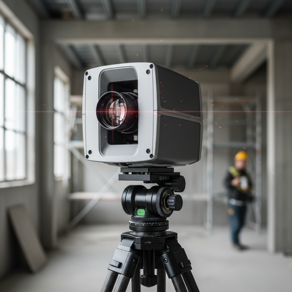
Both LiDAR and photogrammetry are used extensively in construction to enhance project accuracy and efficiency. Site analysis is one of the primary applications. LiDAR provides precise topographical data, which is crucial for planning and avoiding potential obstacles. Photogrammetry complements this by offering visual representations, aiding in better decision-making.
Another key application is in progress monitoring. Regular scans using these technologies allow project managers to track progress, compare it against plans, and make necessary adjustments. This ensures that projects remain on schedule and within budget, reducing the risk of costly overruns.
Benefits of LiDAR
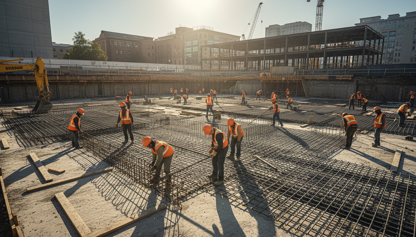
The advantages of LiDAR in construction are numerous. Its ability to capture data in low-light conditions and its accuracy in measuring distances make it ideal for large-scale projects. LiDAR’s rapid data collection means that even large areas can be scanned quickly, minimizing downtime and maximizing productivity.
- High precision and accuracy
- Ability to penetrate vegetation
- Fast data acquisition
Benefits of Photogrammetry
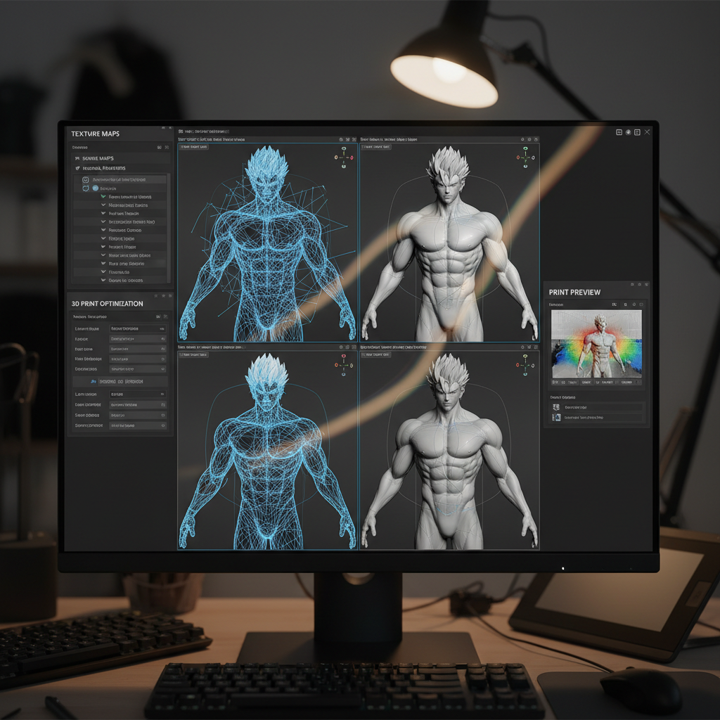
Photogrammetry also offers distinct benefits. Its primary strength lies in its ability to capture detailed imagery, which is crucial for visual assessments. The technology is more accessible and cost-effective, allowing smaller firms to leverage its capabilities.
- Detailed visual data
- Cost-effective solution
- Ease of use and accessibility
Choosing the Right Technology
Deciding between LiDAR and photogrammetry depends on the specific needs of your construction project. If precision and the ability to work in difficult terrains are priorities, LiDAR is the better choice. However, if cost and capturing detailed images are more critical, photogrammetry may be more suitable.
In some cases, combining both technologies can provide the best of both worlds. This hybrid approach ensures maximum data accuracy and visual detail, allowing for comprehensive project analysis and execution.
Future of LiDAR and Photogrammetry in Construction
The future looks promising for LiDAR and photogrammetry in construction. As technology advances, we can expect even greater accuracy, faster processing times, and more cost-effective solutions. The integration of these technologies with artificial intelligence and machine learning will further enhance their capabilities, enabling predictive analytics and smarter project management.
In conclusion, both LiDAR and photogrammetry are transforming the construction industry. By understanding their applications and benefits, construction professionals can make informed decisions, improving project outcomes and driving innovation.