
A Comprehensive Guide to Drone Mapping Services in California
MN
Understanding Drone Mapping Services
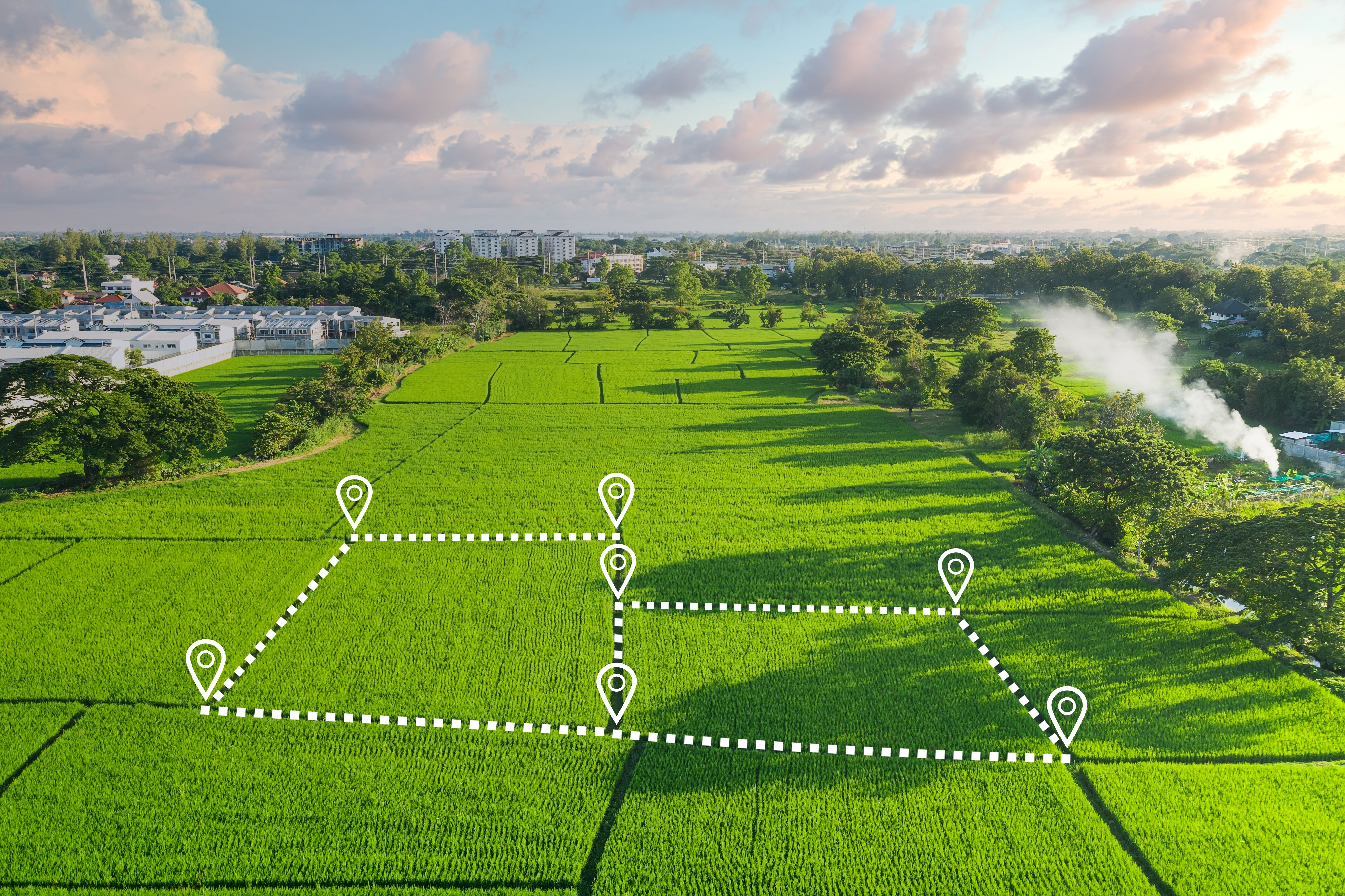
Drone mapping services have revolutionized various industries by providing accurate and efficient data collection methods. In California, these services are in high demand due to the state's diverse landscape and booming industries. From urban development to agriculture, drone mapping offers a multitude of applications that traditional methods cannot match.
Applications of Drone Mapping in California
One of the most significant benefits of drone mapping is its application in agriculture. Farmers in California utilize drones to monitor crop health, optimize irrigation, and enhance yield predictions. This technology allows for real-time data analysis, which is crucial for decision-making in precision agriculture.
In urban planning and construction, drone mapping provides highly accurate topographical maps. These maps are essential for infrastructure development, allowing planners and engineers to visualize and modify terrain data seamlessly. This ability to model landscapes before breaking ground can significantly reduce project costs and timelines.

Environmental Monitoring and Conservation
California's diverse ecosystems benefit immensely from drone mapping services. Environmental agencies use drones to monitor wildlife populations, track changes in land use, and assess the impact of human activities on natural habitats. This non-intrusive method of data collection is vital for conservation efforts and helps in developing strategies to protect endangered species.
Advantages of Using Drone Mapping
The advantages of using drone mapping over traditional methods are numerous. Drones can cover large areas quickly and with minimal human labor, reducing both time and cost. The high-resolution imagery captured by drones provides detailed insights that are often unattainable through other means.
Moreover, drones offer flexibility in accessing hard-to-reach areas, such as rugged terrains or hazardous environments. This capability ensures that accurate data can be collected safely, without putting human lives at risk.
Choosing the Right Drone Mapping Service
When selecting a drone mapping service in California, it is essential to consider factors such as the provider's experience, technology used, and compliance with local regulations. Experienced providers will have a track record of successful projects and a portfolio that demonstrates their capabilities across different applications.
Advanced technology is another critical consideration. Ensure that the provider uses state-of-the-art drones equipped with high-resolution cameras and sensors. This will guarantee the quality and accuracy of the collected data.
Regulations and Compliance
Operating drones for mapping purposes in California comes with regulatory requirements. Providers must comply with the Federal Aviation Administration (FAA) regulations and obtain necessary waivers or licenses where needed. Adhering to these regulations ensures that the operations are legal and safe.
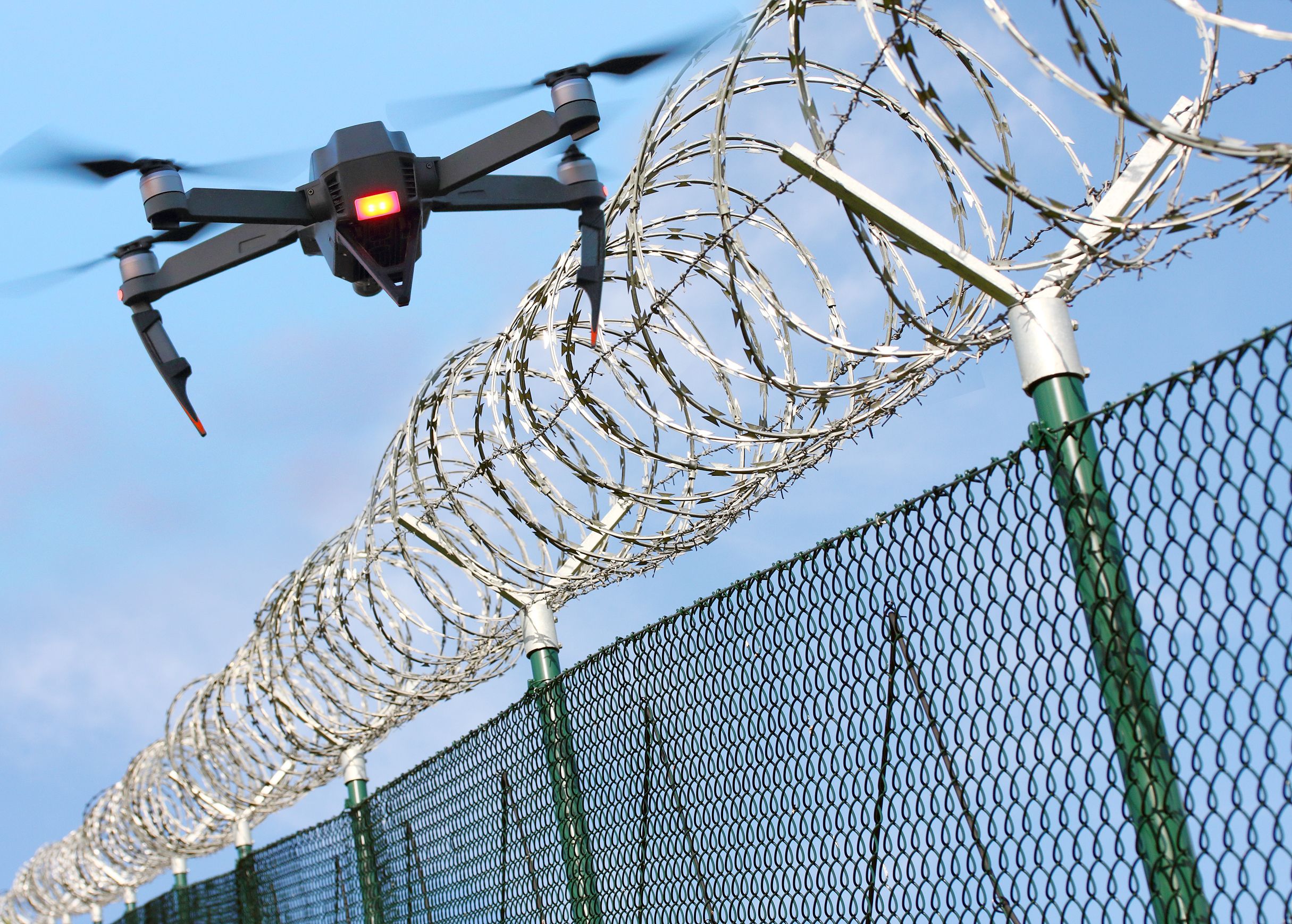
In addition to federal regulations, local laws may also impact drone operations. It's crucial to work with a provider who is knowledgeable about these laws to avoid any legal complications during your project.
The Future of Drone Mapping
The future of drone mapping services in California looks promising, with ongoing advancements in technology enhancing accuracy and efficiency. As drones become more sophisticated, we can expect even broader applications across various sectors.
With continual improvements in machine learning and data processing, drone mapping will offer more detailed analytics, helping businesses make informed decisions faster than ever before. This evolution will undoubtedly cement drone mapping as an indispensable tool in many industries.